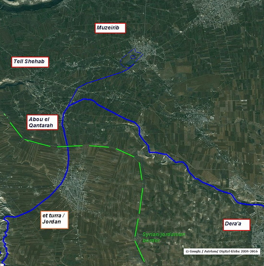
in the village of Abou el Qantara, between Muzeirib in the north and At Turra in the south.
The Wadi passes a plain which is mentioned as the Medan plain in the literature of the 19th century. Countless caravans and traders rested here or pitched their camps outside the overcrowded Muzeirib. Therefore, the wadi ez Zedi in this area is also called Meddan ez Zedi and flows, after the numerous cataracts, at Tell esh Shehab on several steep falls into the upper reaches of the Yarmuk.

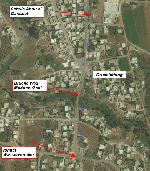
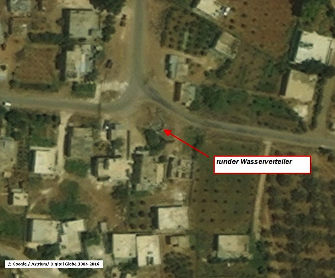
In the area of today's Abou el Qantara, the Qanat Fir'aun was very probably located within a closed pressure pipe. This is indicated by the inlet basin in the area of the today’s school in Abu el Qantara north of the river, as well as a distribution building built in the 18th century south of the river. This assumption is also based on many reports from travelers, who speak of strongly fluctuating water levels in this area, but who do not mention any of the proven route which exactly run along here or any aboveground structures or ruins. As evidenced in many wadi- or valley crossings for this aqueduct, an artificial vertical drop was often created in the course of the river or the pressure pipe elements were built between the basalt cliffs.

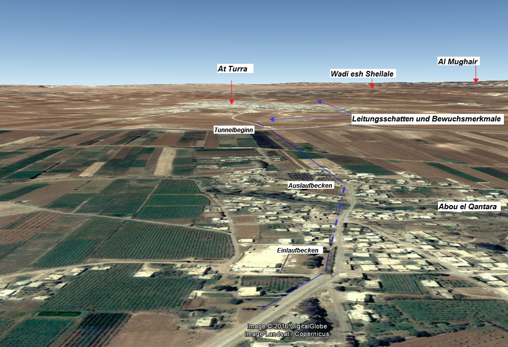
Here in Abou el Qantara and for the first time again, basalt bedrocks move closer together in the terrain formation, and the power of the flowing water is revealed in narrow meanders. Since the height relations would have required at least a 600m long unpressurized bridge (the statement of 300m, in the book Wasser für die Dekapolis , unfortunately neither corresponds to the heights specified there, nor the real topography). Due to the reason that this bridge can’t neither be proven by numerous travel reports nor by ruins etc., the logic leaves no other conclusion than a pressure line . A pressure line in the described and contemplated form is also nothing unusual, considering that the settlement hill of the Decapolis city Hippos and parts of Gadara were supplied with water. In addition, the proven, especially in the winter months occurring floods, upper flow of the crossing, meant a permanent risk of backwater and damage. This could be built in an open pit construction of 480m and is therefore the safest and simplest construction for this topography. For the owner, all the water could easily drained via max. two large basalt pipes comparable to those just mentioned.
 Schulareal in Abou el Qantara mit Einlauf
 Abou el Qantara Auslaufbereich der Druckleitung
The name of the village which was first mentioned on maps from 1930(there just only 2 houses were marked) has the Meaning of "Father of a vaulted structure. (probably the inlet structure at the school and the following pressure line)
Dates:
Inlet approx. 436,5m asl, spout 435,5m asl, maximum height of the siphon 7m. Length in 3D: 480m

The further course of the Qanat Fir'aun can be found at "The Turra Plain".